Best Latitude and Longitude Worksheets for Kids
Published:
August 9, 2022
Contributor:
Jeannette Tuionetoa
Disclosure: This post may contain affiliate links, meaning if you decide to make a purchase via my links, I may earn a commission at no additional cost to you. See my disclosure for more info.
Imagine not being able to identify specific locations on the Earth’s surface. Download some of the very best latitude and longitude worksheets as a great way for kids to learn all about measuring location in our world.
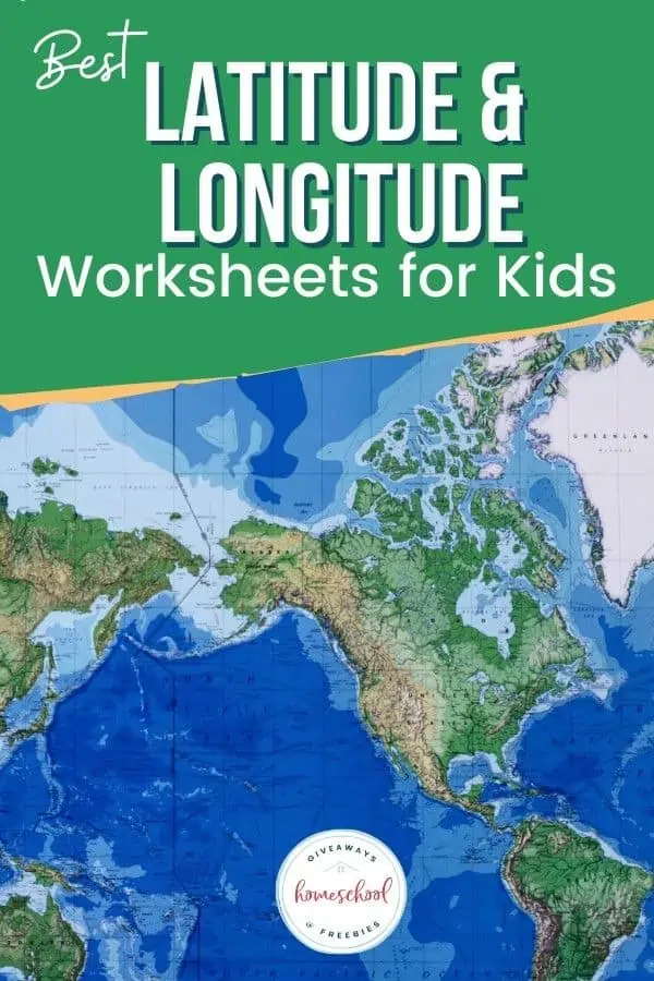
Latitude and Longitude Worksheets
The grid system that helps us to identify the exact location of places all around the globe is what we call the lines of latitude and the lines of longitude. Check out these longitude and latitude worksheets and different practice pages to help your students learn all about them.
Latitude and Longitude Worksheet – U.S. Capitals
These 15 free set of coordinates help students to find various capital cities in North America. Use Google Earth and other maps with this longitude and latitude worksheet on U.S. capitals to locate state capitals like Albany, NY, Austin, TX, and more.
Latitude and Longitude Homework Sheet
Whether your students are going through geography or history lesson plans, they can use this latitude and longitude homework printable worksheet as an introduction to understanding the basics.
Longitude and Latitude Treasure Hunt Worksheet
It would be so difficult to pinpoint locations around the world without latitude and longitude coordinates. Your students will enjoy this Longitude and Latitude Treasure Hunt Worksheet which sends them on a worldwide treasure hunt to find various fun locations around the globe.
Geography Fun Latitude and Longitude Time Zones Worksheet
If you have ever lived overseas you understand how important time zones are. This Geography Latitude and Longitude Time Zones Worksheet assignment (11 pages) will break down the worldwide global positioning systems alongside the worldwide time zone system.
Latitude and Longitude Worksheets & Online Activities
Need a little change to your regular worksheets? These live Latitude and Longitude Worksheets & Online Activities are an interactive way for students to practice as a great review of latitude and longitude.
Latitude and Longitude Map Activity
Need a kick start to teaching world map skills? This Latitude and Longitude Map Activity mini-unit includes a short PowerPoint presentation to guide students through the degrees of latitude and longitude to decipher the imaginary lines that teach how to find the exact location of places around our earth’s surface.
Latitude, Longitude, and Directions
This quick 5-page Latitude, Longitude, and Directions lesson is a great free resource to teach social studies students about directions with a latitude and longitude worksheet PDF.
Locating Earthquakes Using Longitude and Latitude
Land masses aren’t the only things we can locate with degrees latitude and degrees longitude lines. If you are studying natural disasters this is a cool activity for Locating Earthquakes Using Longitude and Latitude around the world.
Free Latitude and Longitude Printable Social Studies Worksheets
Challenge your students with loads of interesting tasks in locating coordinates around the world. These Free Latitude and Longitude Printable Social Studies Worksheets will take your students to look for locations like the Prime Meridian, south or north of the Equator, natural resources like the ocean, or places in the United States like Orlando, Florida, and Nashville, Tennessee.
Latitude and Longitude Lessons
Understanding Latitude and Longitude Lesson – With this lesson, students learn to identify places on a map. The lesson is great for independent work and includes a latitude and longitude worksheet, an activity, an assessment, and more.
Latitude and Longitude Online Lessons
Differentiated Latitude and Longitude Lesson Plan – This lesson plan has everything you need to teach and explore latitude and longitude with differentiated activities. The lesson plan includes vocabulary and interactive resources like quizzes, challenges, a video, games, and more.
Latitude and Longitude Games
Pirate Math Spherical Buried Treasure Game – Help students develop mathematical reasoning to find coordinates around the globe including meridian, prime meridian, international date line, time zones, and more. Grab this two-page resource with the answer key.
Free Latitude and Longitude Games and Activities for Kids – The goal of these fun and interactive games is to get an idea of how using vertical and horizontal lines on a map can be used to identify locations and positions easily.
You Might Also Like
- Printable World Map With Latitude and Longitude
- Free Continent Worksheets
- Free Printable Worksheets on Continents and Oceans
- Kids can learn how to read a map with this free printable.
FAQ About Latitude and Longitude
There are many questions students will have when exploring the concepts of latitude and longitude in homeschool lessons. Find some questions below to share with your students during their lessons.
How do you teach lines of latitude and longitude?
The classic way to teach latitude and longitude is to help your student differentiate between the two.
The flat lines are the “lat” lines.
Highlight that latitude always measures north and south (or up and down).
Also, point out that longitude will always measures east and west (or left to right or side to side).
What is the easiest way to find latitude and longitude?
Since your children are technically savvy, it will be a cinch to find latitude and longitude for any given location.
Go to Google Maps, and click on the place on the map. This will open a pop-up window that shows the degrees of latitude and degrees of longitude for that location. To copy the set of coordinates just left the clock on the pop-up.
How do you explain latitude and longitude to a child?
The very best way to explain latitude and longitude to children is to use a visual source like a United States Map or a world map or/and a globe. Task your students to find the lines running across the map/globe up and down. Then task students to find the lines running across the page.
Have students label terms like latitude and longitude, meridian, Equator, and the North and South Pole so they understand the concept and directions. Explain the lines that were added to the map or globe in order to help people easily locate places.
What are the 5 differences between latitude and longitude?
- Latitude means the geographic coordinates that determine the distance from one point, north-south of the equator. Longitude means the geographic coordinate that determines the distance of a point, east-west of the Prime Meridian.
- There are 180 latitude lines and 360 longitude lines.
- Latitude is known as parallels and Longitudes are known as meridians.
- The length of the latitude lines is different and the length of the longitude lines are the same.
- Latitude classifies heat zones and longitude classifies time zones.
How do I find the longitude and latitude of a map?
Find the longitude and latitude of a map by first assuming that a map is held where the top of the map is north. The numbers that appear on the right side and left side of a map are the latitude degrees. The numbers that appear from the top to the bottom of the map are the longitude degrees.
How do I find the latitude and longitude of an address?
To find the latitude and longitude of an address, head over to Google Maps. Right-click on the location on the map once you type on the address. Then click on “What’s here?”. You will then see a pop-up card at the bottom that gives the exact coordinates for the address.
Latitude
Is latitude north or south?
The latitudinal lines are not as simple as north and south. Latitude measures the distance north or south of the world’s equator. They run east to west but measure your distance from north to south.
Is the equator a latitude?
Yes. The equator is a latitude. The Equator is actually the line 0/zero degree latitude.
What are the 5 lines of latitude?
Latitudes measure and help identify the major heat zones on the earth. The 5 major parallels of latitudes are the Arctic Circle, Tropic of Cancer, Equator, Tropic of Capricorn, and the Antarctic Circle.
Longitude
How do you calculate longitude?
Longitude measures how far a point is east or west of the prime meridian. To manually calculate longitude, place a ruler diagonally on the west and east meridians with the ends of that 2 ½ minutes ruler touching both meridians.
What are longitudes called?
Longitudes are called meridians. They are the imaginary lines on a map/globe that divide the Earth. They run north and south but measure the distance from east to west.
What are the major lines of longitude?
The very most famous lines of longitude are the prime meridian and international date line. The Prime Meridian is Longitude of 0 degrees (Greenwich Meridian) and the International Date Line is a Longitude of 180 degrees.
In Conclusion
The lines of latitude and longitude are important to our world in various ways. They help us understand the patterns of wind circulation on the global surface. This is particularly important for sea voyages. They also can help us to find any place at any single point on earth.
Cool fact: Since everyone knows about GPS (the Global Positioning System). The coordinates of longitude and latitude are what make up our GPS navigations.