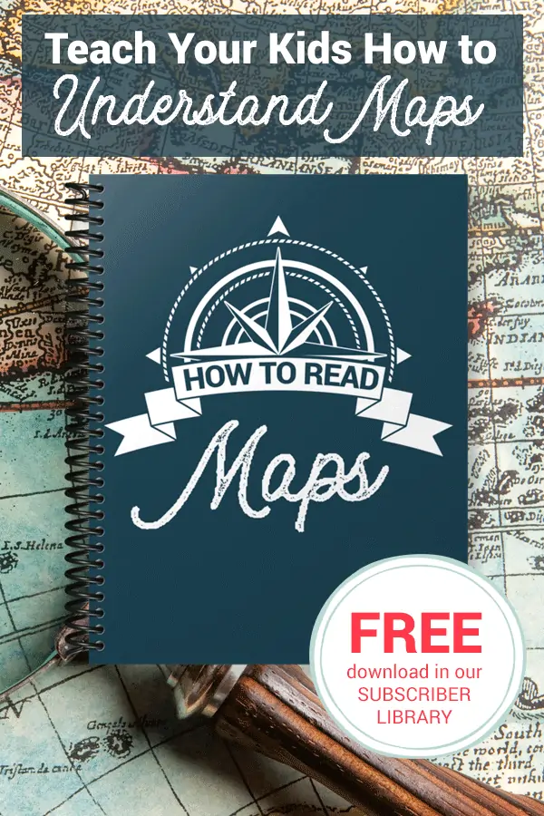
FREE How to Read Maps Printable Unit
Published:
July 18, 2020

Contributor:
Bonnie Rose Hudson
Disclosure: This post may contain affiliate links, meaning if you decide to make a purchase via my links, I may earn a commission at no additional cost to you. See my disclosure for more info.
Even in today’s world of GPS and online directions, knowing how to read a map is an important skill. You can help your kids develop these skills while having fun with this FREE How to Read Maps printable unit.
How to Read Maps
People have been mapping the world around them since nearly the beginning of time. With today’s GPS options, kids may wonder if they even need to know how to read maps or understand directions. The answer is YES!
Maps are important, and you can help them learn how to understand them with this FREE How to Read Maps Printable.
Maps of all kinds will come up in their studies as ways of illustrating important information. This unit helps students learn what various types of maps are and what purposes each one serves.
What’s in this printable?
- political maps
- historical maps
- physical maps
- weather maps
- climate maps
- time zone maps
- transportation maps
- street maps
They’ll also learn how to analyze and understand the maps they are reading by learning about the parts of maps and their functions. They’ll learn about the:
- title
- data frame
- scale
- legend
- compass rose
- north arrow
- latitude
- longitude
- map index
- inset map
Students will also have the chance to create their own political map, physical map, weather map, and more plus work with time zones, latitude, and longitude.
Two bonus sets of printable fact cards to review key terms are also included. One set is in color and includes the information to review. The second set is in black and white and includes space for students to write the information they have learned.

Grab Your FREEBIE!
Our How to Read Maps is currently available for FREE in the Subscriber Library.
Not already a subscriber? No problem. Simply enter your email below and we’ll get the current password. You’ll get access to this printable plus over 90 more HSG library resources for FREE!
Bonnie Rose Hudson
Bonnie Rose Hudson’s heart’s desire is for every child to feel the love of God and know how special they are to Him. She would love for you to stop by her website WriteBonnieRose.com for homeschool and history curriculum, resources to help teach your children about missions and the persecuted Church, free history and writing printables, and to check out her newest release from JourneyForth, The Hidden Village, an early reader set in India.