Over 1,000 Free Maps of Countries and Continents
Published:
April 22, 2019
Contributor:
Jeannette Tuionetoa
Disclosure: This post may contain affiliate links, meaning if you decide to make a purchase via my links, I may earn a commission at no additional cost to you. See my disclosure for more info.
Would you like to expand your homeschool student’s map skills this year? This amazing resource has over 1,000 free maps of countries and continents you can use with various homeschool lessons or use along with your history or geography lessons.

Learning About Maps
Maps contain useful information that kids can carry throughout their lifetime. Reading maps and map drawing are important skills to learn in geography and in life.
Map Symbols
Maps use symbols like lines and different colors to that represent rivers, roads, cities or mountains; all of which, your students need to understand and learn for the future as adults.
I have to admit that I didn’t know much about geography growing up. My husband is a history buff and could tell you where any place on the Earth is and what happened in that region historically. Me? Not so much.
I am learning more now while educating my children in geography and using a globe to incorporate geographical locations with other subjects. We make our globe and finding locations part of our learning experiences in homeschool. I am so glad my kids are getting the opportunity to learn about the world!
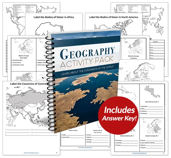
You might be interested in our MEGA Geography Activity Pack.
Students will explore every independent country in the world plus discover the most significant mountains, deserts, rivers, and lakes with this 116-page Geography Activity Pack.
Free Map Resources
How to Read Maps Printable Unit. Students will learn about political maps, historical maps , physical maps, weather maps, climate maps , time zone maps, transportation maps and street maps. They will also learn how to analyze and understand these maps by learning about the parts of maps and their functions.
All About Maps Printables and Resources – If you are studying maps, you will discover all sorts of helpful map printables.
World Geography Unit Study – Learn about the 7 continents, latitude, longitude, and hemispheres
Free Continents & Oceans Worksheets– Students can use these free continents and oceans worksheets to learn all about the major oceans, locations of the continents in a fun way.
Learning About Continents – Series – Find free printable resources for each of the 7 continents.
Free Printable World Maps
Explore VEMAPS resources and tools to use over 1,000 free maps of continents and countries for your homeschooling lessons.
Geography Map Skills Practice
Use our free geography map skills practice pages alongside your DIY map skills unit study. Scroll down to learn how to gain access to this free map skills practice pack.
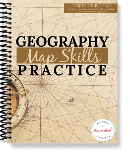
How to Download Geography Map Skills Practice
To get access to this free Geography Map Skills Practice, sign into the subscriber library using the password found in all our emails. Not yet a subscriber? No worries – sign up below to get access now!
[magicactionbox]