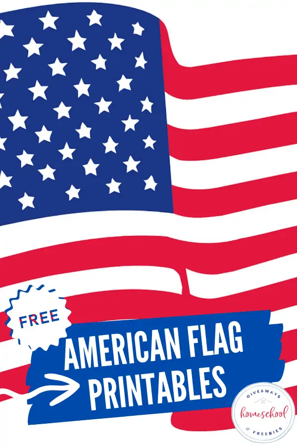
Free 50 States Coloring Pages for U.S Geography
Published:
July 26, 2022

Contributor:
Sarah Shelton
Disclosure: This post may contain affiliate links, meaning if you decide to make a purchase via my links, I may earn a commission at no additional cost to you. See my disclosure for more info.
Are you learning about the 50 states and U.S. geography this year? Give your kids 50 states coloring pages with a United States Map on it to help them learn where the different states are located on the map. We also have free 50 states coloring pages with state symbols that you can download and print.
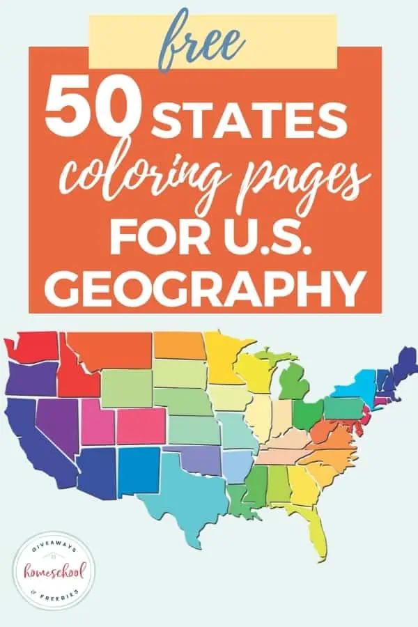
50 States Coloring pages for U.S. Geography
Coloring is a fun learning activity for kids of all ages and can be incorporated into your geography studies. It is great way to visually remember something and where it is located as you are coloring it in. This is especially helpful if you are studying geography as there are so many things to remember.
You may be learning about the states in your US geography curriculum. Perhaps you are studying the famous landmarks in U.S.A. or even learning the state symbols. Your kids may also want to explore more than just North America and take it a step further and learn about the continents of the world.
We also have a printable world map for kids if you are also studying world geography.
Coloring Sheets for United States Maps
Free coloring pages for geography and United States map coloring pages will get your children excited to learn U.S. geography. They are a great addition to geography lessons and also look great in geography notebooks and homeschool portfolios.
USA Country Coloring Pages
Outline Map of North America – This outline coloring map of America shows the continent of North America with the countries surrounding it.
United States Country Coloring Pages – Read, color and learn all about the country that includes the United States of America with country coloring pages, free USA coloring pages, fun facts and more. These are perfect for a USA and social studies unit study.
USA Country Border Map – Do your kids know what countries the United States border? This map shows the borders of Canada and Mexico and also shows Hawaii and Alaska at the bottom.
USA Outline
Get your children familiar with the shape of the United States with an outline map coloring page.
USA Outline Map – This blank map shows the outline of the USA map with no states, only the shape of the continent and the countries that border it.
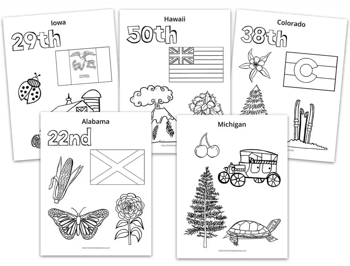
Free Coloring Pages for Each State
You can use these free coloring pages for your state studies. Each of the 50 states has 2 pages of symbols that you can color or cut and paste to use with a state report template. Scroll to the bottom to download.
USA with State Outlines
Map of the United States of America – This USA map coloring page can be used to color the states shapes that are outlined on this state map. You can use a different color for the states that are located in the specific regions of the United States.
Printable USA State Outlines
Print off one sheet per state and teach your kids the shapes of the states. These united states coloring sheets would be great for a cover of a state report. You can also have your kids trace them and make their own maps.

50 State Shape Templates
Shape templates are a great addition to any report or presentations. Our 60 page printable of US state shapes will help your students create those reports and presentations more easily!
USA with State Names
American States Map Coloring Page – This United States of America map shows the state abbreviations for the different states on the map.
Location of Capital Cities Marked
United States Map with Capital Cities – Practice learning the names of the states and their capitals with this map that shows both the state name and capital cities of each state.
State Map Coloring Pages
U.S. States Coloring Pages – These free printables come with 4 different state coloring pages to choose from for each state. There are fun coloring doodle pages with the state name, a coloring page with the shape of the state, a state bird doodle coloring pages and one that shows fun facts for each state.
United States Map Coloring Sheets
Print off these free coloring sheets of United States maps for inclusion in your U.S. geography studies. Included is a blank USA map coloring sheet, a labeled USA map, time zone map, regions of the USA map outline, and three different U.S. flag coloring pages. Scroll to the bottom to download.

Free Printable Blank United States Map Coloring Pages
Blank maps are a great way to help quiz your children on where the states are and what they are called. They can color the states in and also write the names or abbreviations in the proper locations.
United States Map Coloring Page – This blank united states map coloring page can be colored online with the paint tool, then printed out.
United States of America Coloring Page – Color the states on the map and practice your handwriting skills by customizing the coloring page with a handwriting space.
Blank Map of the United States – This blank map shows the 50 states without any names so your kids can practice locating them onto the map.
Coloring Sheet United States Map
Map of the United States Coloring Page – This is a very simple map of the United States for your kids to color. They will also learn how to read the words Map of the United States and color the bubble words in.
American Flag Resources
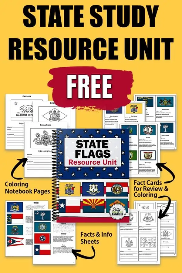
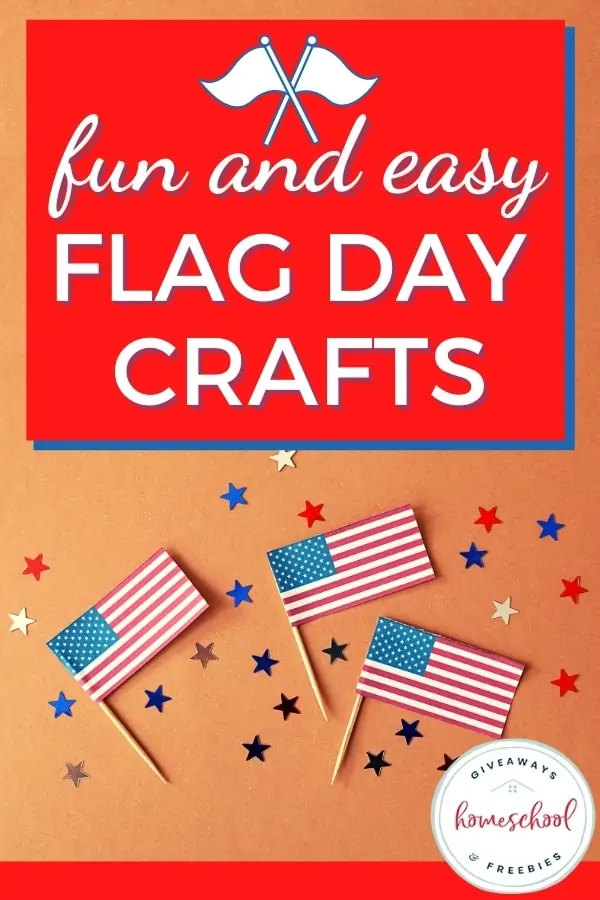
You might also want to download some free printable american flag worksheets. We also have a bunch of flag day crafts that would be a great way to incorporate some hands-on fun. If you want to use individual flags for each state, we also have some free state flag printables.
 |  |  |
More Map Resources
- If you are working on learning how to read a map in your homeschool, this free map unit can help.
- Get some more map skills practice with this download.
- These large printable maps are great for country studies.
50 States Worksheets
- Do you want your kids to do a report on one of the states? Use our state report template and make it a breeze!
- Download free printable state flags for each of the 50 states.
- Have you ever considered using a song to learn the states?
- Don’t forget about learning the state capitals. It’s easy when you use a free capitals worksheet.
- Explore U.S. landmarks for kids with free resources.
- These 50 states cheat sheets are great for memorizing and review.
- Teach the states and capitals in cursive with these handwriting worksheets.
- Print off the states and capitals study sheet for test-taking practice.
In Conclusion:
Coloring is a calming activity that can also help your children to stay engaged with what they are learning. When you are studying U.S. Geography with your kids cute coloring pages will help them recognize the state shapes as they are coloring them in.
There are many different ways to incorporate color pages into your geography studies. Use gel pens, colored pencils or markers and your kids can turn all their pdf file coloring pages into their very own U.S. Geography coloring book.

Grab Your FREEBIES!
Both our 50 States Symbol Coloring Pages & United States Maps Coloring Pages (+ US Flag) are currently available for FREE in the Subscriber Library.
Not already a subscriber? No problem. Simply enter your email below and we’ll get the current password. You’ll get access to this printable plus over 90 more HSG library resources for FREE!
Sarah Shelton
Sarah is a wife, daughter of the King and Mama to 4 children (two homeschool graduates) She is a an eclectic, Charlotte Mason style homeschooler that has been homeschooling for over 20 years. She is still trying to find the balance between work and keeping a home and gardens. She can only do it by the Grace of God, coffee and green juice!