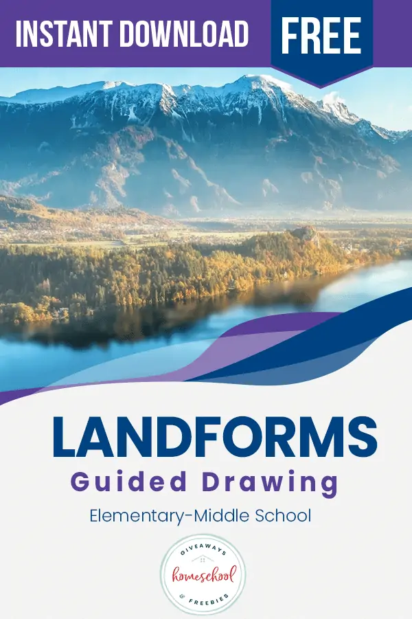
FREE Landforms Guided Drawing Printable
Published:
February 6, 2020

Contributor:
Bonnie Rose Hudson
Disclosure: This post may contain affiliate links, meaning if you decide to make a purchase via my links, I may earn a commission at no additional cost to you. See my disclosure for more info.
Let’s be honest – how many of us are sure we know the difference between a bay and a gulf or a lake and a sea? This FREE Landforms Guided Drawing Printable can help your students learn about ten different landforms while fueling their artistic side.
[series_meta]
With this FREE Landforms Guided Drawing Printable, students can learn about ten different kinds of landforms, what makes each one unique, and where you can find them around the world. They’ll discover:
- bay
- fold mountain
- island
- isthmus
- lake
- mesa
- peninsula
- shield volcano
- stratovolcano
- valley
The unit gives students a chance to read about each type of landform and then draw either half the image or the entire image on grids that are provided. The unit wraps up with ten reading comprehension questions to review what has been studied. It’s a great way to combine science and art in your day! Scroll down to get your FREE instant download!
Don’t miss all the other FREE guided drawing units we have for you in science and other subjects. Here are a few of the ones you’ll find:
Keep scrolling to get your FREE instant download!
You might also enjoy the Geography Terms Notebook:
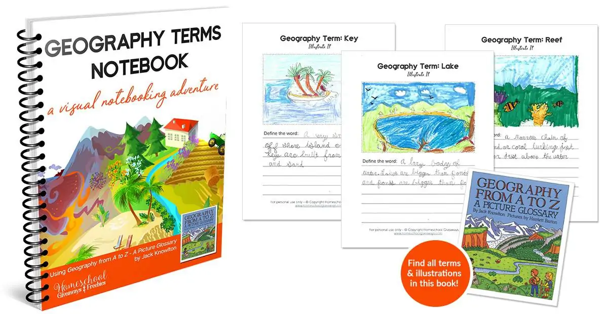
Go deeper in your study of landforms and geography!
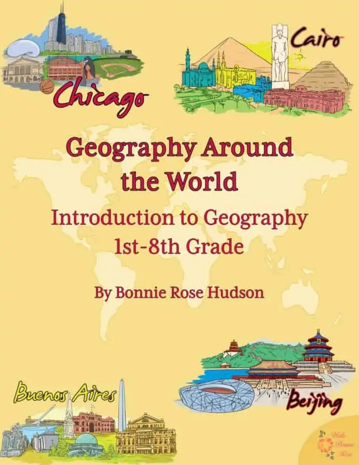
Plus save 20% just for being a Homeschool Giveaways & Freebies reader! Use coupon code GEOGRAPHY20 to save 20% on Geography Around the World, a 279-page geography unit that introduces students to continents, capitals, landforms and biomes, major lakes and rivers, mountain ranges, political boundaries, and more through a wide range of activities. Get Geography Around the World today!
Instant Download: FREE Landforms Guided Drawing
Bonnie Rose Hudson
Bonnie Rose Hudson’s heart’s desire is for every child to feel the love of God and know how special they are to Him. She would love for you to stop by her website WriteBonnieRose.com for homeschool and history curriculum, resources to help teach your children about missions and the persecuted Church, free history and writing printables, and to check out her newest release from JourneyForth, The Hidden Village, an early reader set in India.