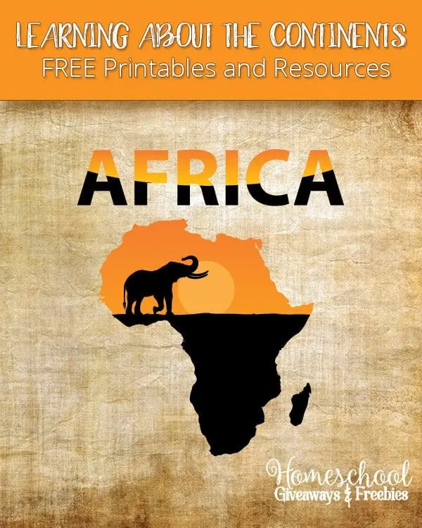
Learning About Africa (Printables, Maps, & Worksheets)
Published:
January 12, 2017

Contributor:
Sarah Shelton
Disclosure: This post may contain affiliate links, meaning if you decide to make a purchase via my links, I may earn a commission at no additional cost to you. See my disclosure for more info.
Africa is the second largest and second most populated continent in the world. There are 57 countries in Africa. This post will mostly cover Africa as the continent since there are so many countries to cover. We’ve found lots of great free African printables you’ll want to add to your study of this beautiful continent.
[series_meta]
Are you working on learning the 7 continents in your homeschool? I thought it would be fun to put together an entire series that covers each continent with links to free continent worksheets, unit studies, resources and ideas for that specific continent.
Africa Printables
Ducksters has an entire Africa Geography page. Learn more about all the countries from the continent of Africa. Get all sorts of information on each African country including a printable map, a picture of the flag, population and much more. There are also continent maps to label.

African Printables
- Africa Activity Books from St. Aiden’s Homeschool. There are so many amazing activity books and they are completely free! There are the 9 Provinces of South Africa, African Animal Notebooking Pages, Country Outline Maps, Tribes and Nations, Political Maps and more!
- Free Outline Map of Africa
- Africa Lands Coloring Page
- Free Images of Africa Pre Reading Cards from Welcome to Mommyhood
- Ancient Africa for Kids from Mr. Donn – country studies, african crafts, music and more
Africa Unit Studies
Here are some good Africa country lapbooks and unit studies from Homeschool Share:
Africa Lesson Plans
- The Seven Natural Wonders of Africa Lesson Plans and Pictures
- Africa: It’s Not a Country Lesson Plans for Teaching About Africa in the Elementary Grades
- Exploring Africa Online Curriculum – This curriculum is divided into units, modules, and learning activities. Each unit covers a major topic or theme in the study of Africa, which is then divided into thematic, disciplinary, regional, or country modules. There is also a printable activity journal.
Sarah Shelton
Sarah is a wife, daughter of the King and Mama to 4 children (two homeschool graduates) She is a an eclectic, Charlotte Mason style homeschooler that has been homeschooling for over 20 years. She is still trying to find the balance between work and keeping a home and gardens. She can only do it by the Grace of God, coffee and green juice!