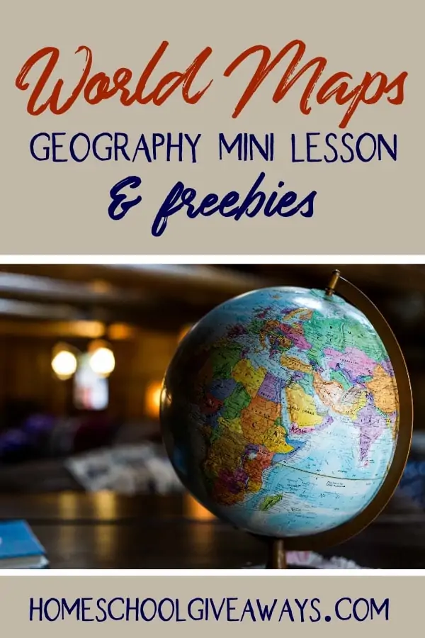
World Maps Geography Mini Lesson & FREEBIES
Published:
April 22, 2019

Contributor:
Abby Banks
Disclosure: This post may contain affiliate links, meaning if you decide to make a purchase via my links, I may earn a commission at no additional cost to you. See my disclosure for more info.
As a former geography teacher, I have an obsession with maps. In fact, my family room houses more than several globes just because I love them so much.
Whether you love geography or hate it, your kids probably have a natural curiosity about the world.
So do what you can to feed that interest. Even if you aren’t taking a full year to study geography right now, you can fit in bite-sized pieces of instruction like this Geography Mini Lesson.
World Maps Mini Lesson
This post will give you a quick win if you’ve been neglecting geography. Here’s a Geography Mini Lesson about World Maps that can be used with multiple ages. You could even watch the videos while you’re eating lunch, then spend about 30 minutes completing some hands-on activities or following a geographic rabbit trail. (That’s what we did!)
You can download FREE video response sheets below!
Why Are Maps Useful?
Maps can show an amazing variety of useful information, not just where places are located.
Discuss the most surprising maps from this video with your kids. Their answers might surprise you.
How Are Globes Made?
This is a fun video to watch before you start to talk about map distortions. After watching this video, ask your kids about the challenges of taking flat maps and creating globes and vice versa.
Why Are Maps Not Totally Accurate?
Before watching this video, discuss predictions with your kids. Grab a globe and a flat map to make your own side-by-side comparisons.
Hands-On Activities With Map Projections
Can you flatten a sphere? from MathMajik.tumblr.com: Explains how mathematics plays into the distortions of map projections and includes a PDF download to try it out for yourself.
Make a Globe from SurvivingManyThings.blogspot.com: Includes instructions and printable pattern for creating a paper globe and grasping the issues when translating between spherical and flat models.
TheTrueSize.com will allow your kids to drag and compare actual country sizes on a Mercator projection world map.
More Geography Freebies
Grab 4 FREE video response sheets to use with the videos.
Want a year-long video playlist for geography? << You can grab it FREE too!
Abby Banks
Abby is a former public school teacher, now homeschooling her five children. She’s in the trenches just like you and knows it can be challenging to be home with your kids all day while you struggle to keep up with the housework and educate your kids (and maybe even work on the side!). She blogs over at www.4onemore.com and hosts the Homeschool with Moxie podcast.