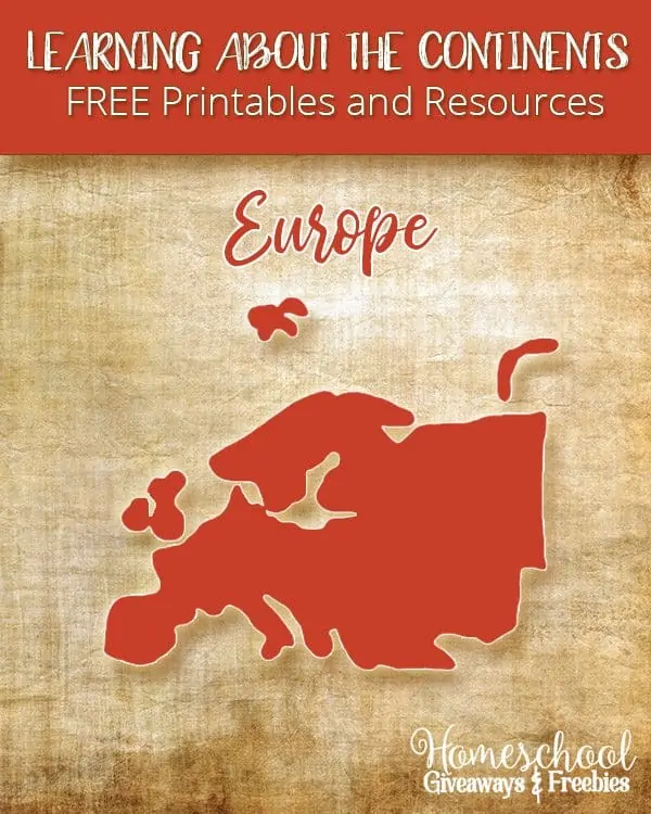
Learning About the Continents FREE Printables and Resources: Europe
Published:
February 9, 2017

Contributor:
Sarah Shelton
Disclosure: This post may contain affiliate links, meaning if you decide to make a purchase via my links, I may earn a commission at no additional cost to you. See my disclosure for more info.
Europe is the 6th largest (or 2nd smallest) continent that contains seven different regions, including 47 countries and islands. Europe is a travel destination with many beautiful countries and architecture. We have lots of free printables about Europe for you!
[series_meta]
Are you working on learning the 7 Continents in your homeschool? I thought it would be fun to put together an entire series that covers each continent with links to free printables, unit studies, resources and ideas for that specific continent.
Learning About the Continents FREE Printables and Resources: Europe
Printables:
Printable Map of Europe with Country Borders and Names
Outline Map of Europe
Outline Maps of Europe
Map of Europe Animal Coloring Page

ABC Teach has an entire page of printables on the Continent of Europe. There are country printables, country flags, geography labeling pages, maps, worksheets and more.
Homeschool Creations has an entire page of European Country Printables. These are great if you are wanting to study Europe in great detail by country.
Activity Village tours the countries of Europe to bring you some interesting facts, flag printables, colouring pages, crafts and – soon – maps and worksheets!
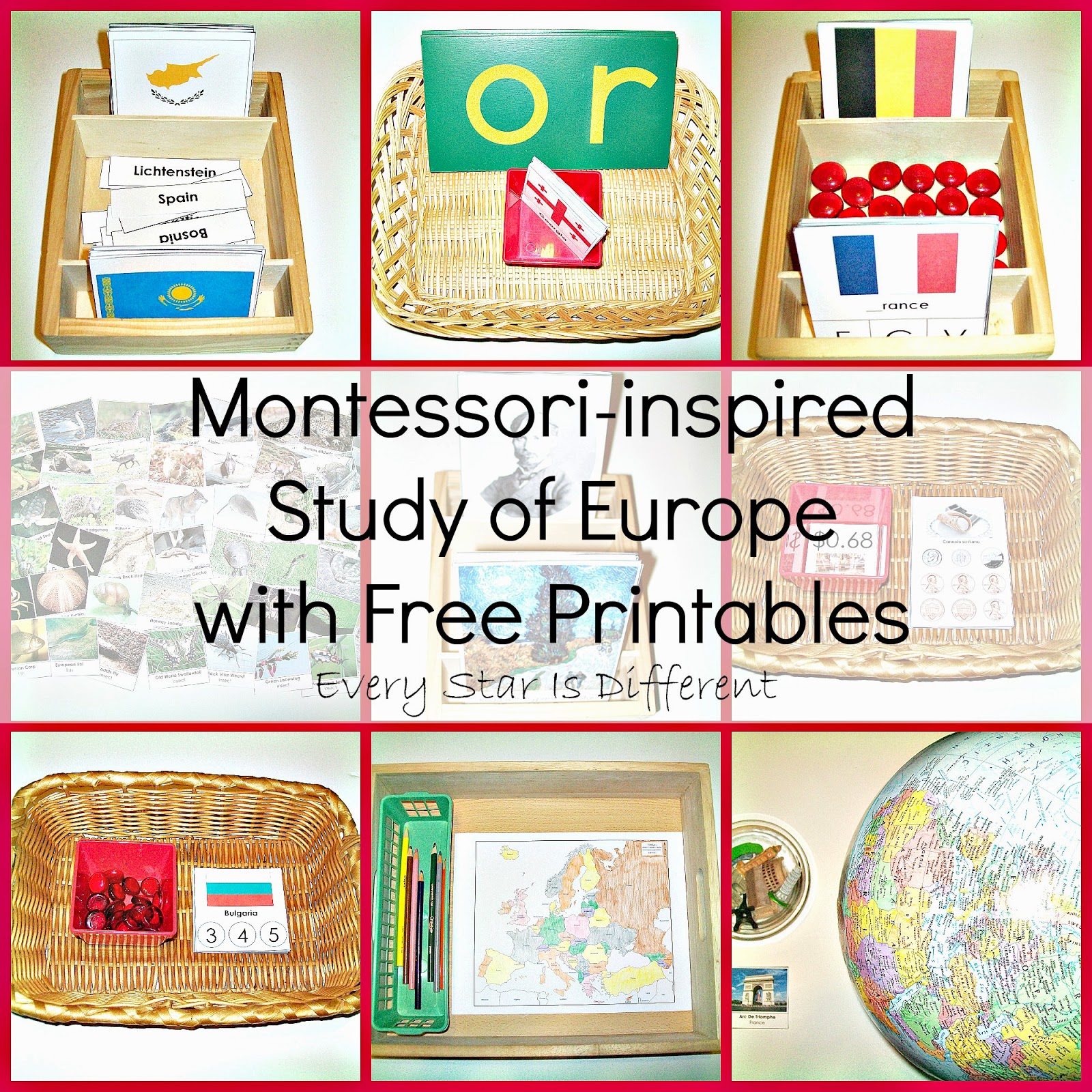
Montessori Inspired Study of Europe with FREE Printables
Animals of Europe for the Montessori Wall Map and Quietbook with Printables
World Geography Europe Scavenger Hunt from Starts at Eight
Online Resources:
Mr. Donn has an entire page on the continent of Europe. There are free teacher lesson plans, games, presentations, printables and resources!

Alphabetical list of all the countries in Europe from Countries of the World
The Lonely Planet has the most beautiful photographic page on Europe. You will enjoy looking through all the photos of prime travel destinations.
National Geographic Travel is full of Europe travel information, photos and facts.
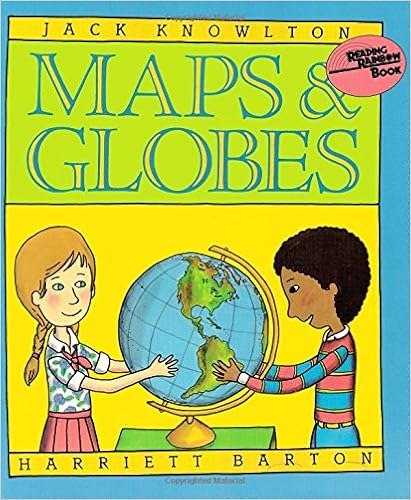
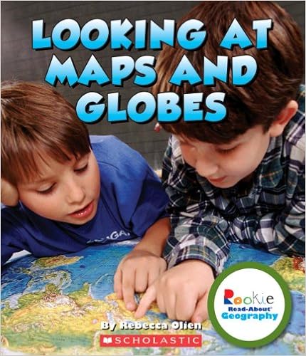
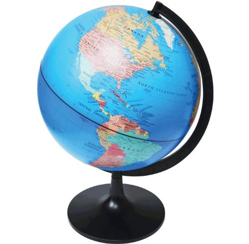
Here are some great resources to use with any continent study:

Sarah Shelton
Sarah is a wife, daughter of the King and Mama to 4 children (two homeschool graduates) She is a an eclectic, Charlotte Mason style homeschooler that has been homeschooling for over 20 years. She is still trying to find the balance between work and keeping a home and gardens. She can only do it by the Grace of God, coffee and green juice!