Geography Lesson Plans ~ Printable Maps of North America for Kids

Published:
March 22, 2018

Sarah Shelton

Contributor:
Sarah Shelton

Disclosure: This post may contain affiliate links, meaning if you decide to make a purchase via my links, I may earn a commission at no additional cost to you. See my disclosure for more info.

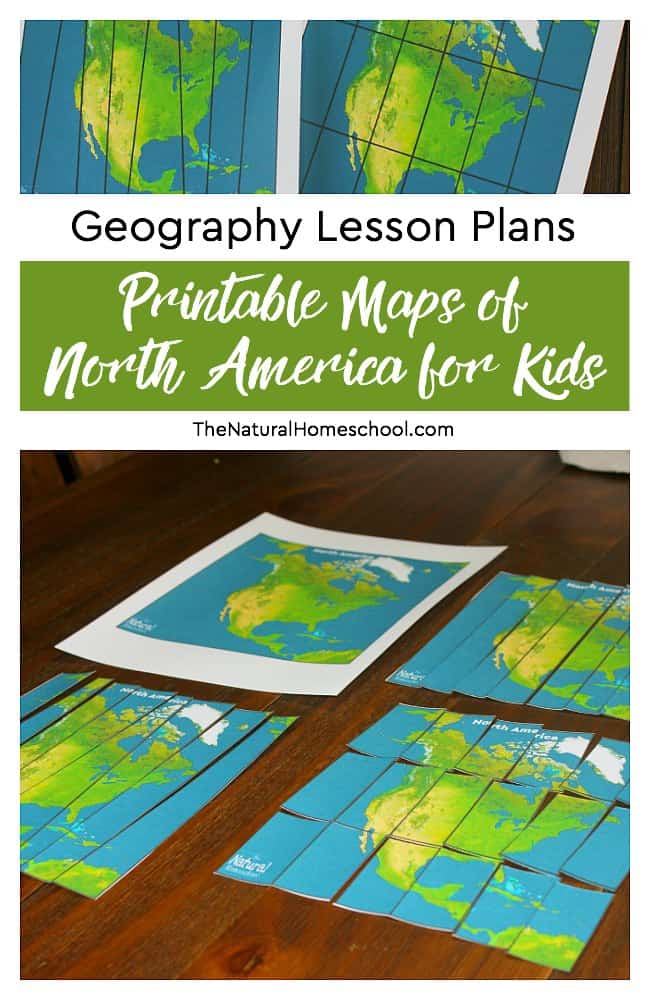
Here are some of the best Geography Lesson Plans that include puzzles of printable maps of North America for kids.


This is a great printable for everyone to enjoy. Simply click here to check out this freebie from The Natural Homeschool now!

Related resources

  • Free Benjamin Franklin Unit Study

  • A roll of "I voted stickers" sitting on a US flag with a text overlay of "Voting for Kids | 15 Hands-on Election Day Activities

    Voting for Kids | 15 Hands-on Election Day Activities

  • Illustration of a Tennessee stamp with text overlay that says "25 Fun Facts about Tennessee + Free Worksheets for Kids"

    25 Fun Facts about Tennessee + Free Worksheets for Kids

  • Illustrated world map with dotted travel routes, three hand-drawn explorer faces, and playful icons like a compass, ship, and journal; bright, colorful design with text overlay that reads “50 famous explorers from history + Free notebook for kids.”

    50 Famous Explorers from History + Free Notebook for Kids

  • A young child sits at a table smiling while playing with colorful counting bear manipulatives. Bookshelves are in the background, creating a cozy homeschool setting. Text overlay reads: “Counting Bears Fun! Free activities, mats & games for kids.

    Counting Bears Fun: Free Activities, Mats & Games for Kids

  • Photo of a laughing President Teddy Roosevelt with text overlay saying "15 Fun Facts about Theodore Roosevelt"

    15 Fun Facts About Theodore Roosevelt + Activities for Kids