FREE World Extremes Cheat Sheets
Published:
September 18, 2019

Contributor:
Bonnie Rose Hudson
Disclosure: This post may contain affiliate links, meaning if you decide to make a purchase via my links, I may earn a commission at no additional cost to you. See my disclosure for more info.
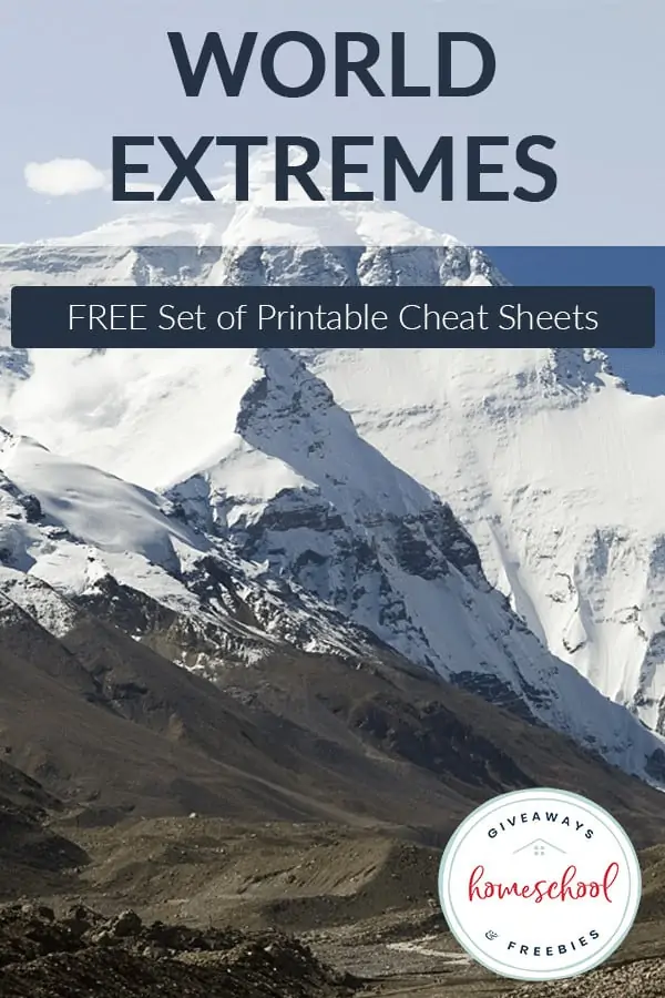
We’ve all had weeks (or months) when we thought it would never stop raining. But most of us have never seen a year when more than 460 inches of rain fell. However, if you lived in Mawsynram, India, it is what you’d expect because you live in wettest place in the world. Discover more fun facts with these FREE World Extremes Cheat Sheets.
[series_meta]
In this set of FREE World Extremes Cheat Sheets, students will discover:
- the largest continent by area
- the largest continent by population
- the highest point on each continent
- the lowest point on each continent
- the length of coastline by continent
- the largest desert on each continent
- the number of countries on each continent
- the largest lake on each continent
- the largest country by area per continent
- the smallest country by area per continent
- the largest country by population by continent
- the smallest country by population by continent
- the longest river per continent
- the wettest places in the world
- plus more world records
This is a great reference to have handy for geography projects and any world country study. You can read more about how to set up a homeschool binder full of cheat sheets and tips PLUS grab many more sets of FREE cheat sheets.
FREE World Maps Notebooking Pages: World Mollweide Maps & World Mercator Maps

Download these FREE World Extremes Cheat Sheets today!
Other free resources you might want to take a look at:
FREE Foods Around the World Notebooking Journal (instant Download)
Over 1,000 FREE Maps of Countries and Continents
Why Teaching Children about Other Cultures is Important
Learning About Missionaries FREE Printables and Resources
FREE Instant Download
World Extremes Cheat Sheets

