FREE World Countries by Rank Cheat Sheets
Published:
September 6, 2019

Contributor:
Bonnie Rose Hudson
Disclosure: This post may contain affiliate links, meaning if you decide to make a purchase via my links, I may earn a commission at no additional cost to you. See my disclosure for more info.
If you line up all the countries in order by size, which one tops the list? If you said Russia, you’re right. But are you as confident about naming the most populous country?
Give your students a handy tool that can help them identify the top ten or twenty countries in ten different categories with these FREE World Countries by Rank Cheat Sheets.
![]()
[series_meta]
With these FREE World Countries by Rank Cheat Sheets, students can learn:
- the top twenty countries by area
- the top twenty countries by population
Then they can also look at the top ten nations as ranked by:
- size of labor force
- unemployment rate
- exports
- imports
- cell phones
- Internet users
- number of airports
- kilometers of roads
This can lead to all sorts of research and critical thinking. For example, students can ask:
- Are the countries with the largest imports also the countries with the largest exports?
- Are the number of cell phones or Internet users ranked the same as the countries by population?
- Do the largest countries also have the most airports and the most kilometers of roads?
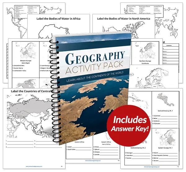
Recommended Resource: Geography Activity Pack
Students will explore every independent country in the world plus discover the most significant mountains, deserts, rivers, and lakes with this 124-page Geography Activity Pack.
Dig into world geography and explore fascinating statistics with these FREE World Countries by Rank Cheat Sheets!
Instant Download: FREE World Countries by Rank Cheat Sheets
Bonnie Rose Hudson
Bonnie Rose Hudson’s heart’s desire is for every child to feel the love of God and know how special they are to Him. She would love for you to stop by her website WriteBonnieRose.com for homeschool and history curriculum, resources to help teach your children about missions and the persecuted Church, free history and writing printables, and to check out her newest release from JourneyForth, The Hidden Village, an early reader set in India.