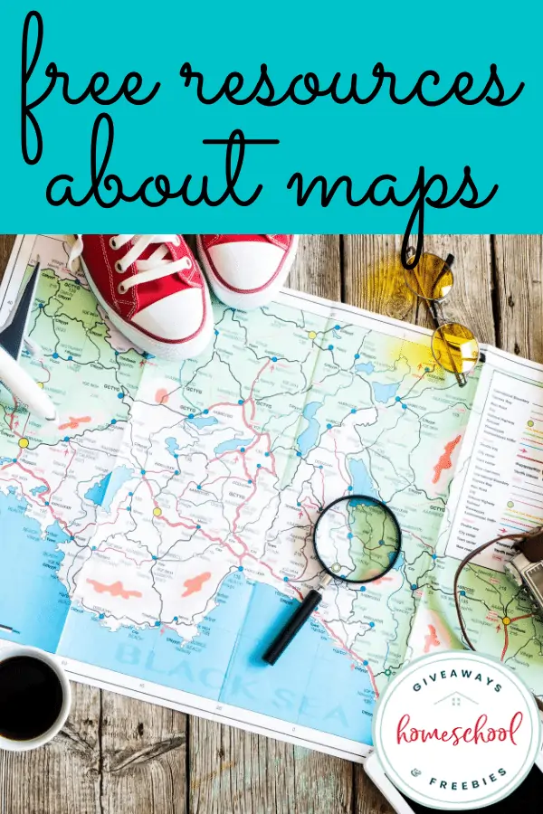
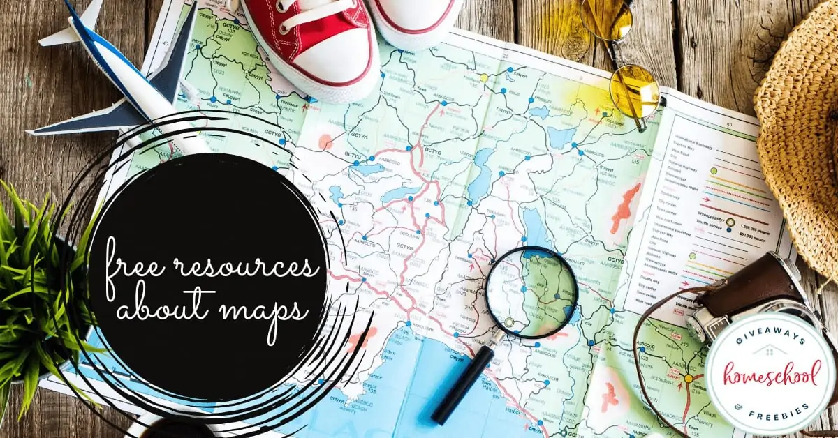
FREE Resources About Maps
Published:
August 30, 2020

Contributor:
Sarah Shelton
Disclosure: This post may contain affiliate links, meaning if you decide to make a purchase via my links, I may earn a commission at no additional cost to you. See my disclosure for more info.
Maps are a lot of fun for kids to learn how to read and to locate different places you are learning about in history or geography. They can be used in lots of different ways in your homeschool. Check out these free resources about maps.
We love having big wall maps hanging up in our school room. Not only do they look sophisticated and educated, they are a handy tool for geography and history lessons. We actually have one under a glass table top in our school room. It is pretty amazing because we can use dry erase markers to map what we are learning.
There is just something so memorable about learning about a far off country and then running to the map to locate it. My kids have great memories of map exercises when they were smaller. We would locate the country on a big wall map, then they would trace the country on paper. They would label it with big name cities, and important rivers and oceans.
We love finding free resources for homeschool. Here are some free resources about maps to help you out!
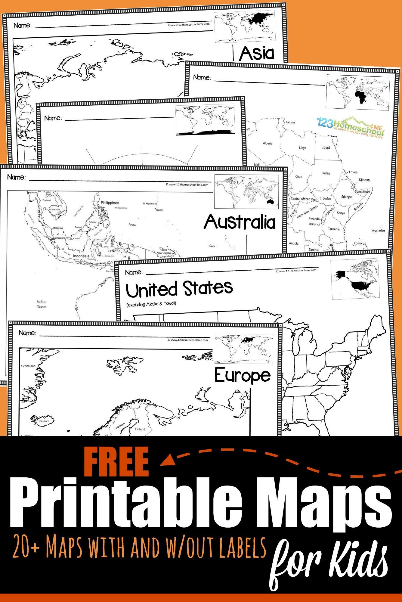
Printable Maps for Geography:
These maps are great resources for learning about mapping the United States of America, or the different continents. There are tons of free printables to use however you would like. They are also great to use for specific geography type of unit studies. We also like to keep them in a geography notebook.
Draw a Map Worksheet – Homeschool Helper
Blank United States Maps – Mom Wife Homeschool Life
Labeled and Blank Printable Maps – The Relaxed Homeschool
State Geography Map Worksheet Bundle – Homeschool Helper
World Map Continent Printables – A Little Pinch of Perfect
Printable Continent Puzzles – Books and Giggles
United States of America Toothpick Map – Research Parent
Continent Map Books for Kids – 123 Homeschool 4 Me
A Simple World Geography Plan with Notebooking and Map Printables – 1+1+1=1
Printable Map Puzzles – Learning Online Blog
Printable Maps for Kids with and without labels – 123 Homeschool 4 Me
How to Read Maps:
My husband and I were cleaning out some drawers from a hutch in our foyer the other day. He pulled out some old city maps that we bought when we moved back to Florida 15 years ago. We both started laughing and we had to immediately show the kids. They were blown away by this huge map that unfolded to show the entire city.
We sure are spoiled with technology at the end of our fingertips. What would happen if that technology ever went down? Learning how to read a map is an important skill that is soon to be a lost one.
Map Skills Worksheets – TLS Books
Learn about Latitude and Longitude with a Teen Scavenger Hunt – Education Possible
Simple Ways to Teach Map Skills – Bright Ideas Press
Learning about Maps from Education.com:
Directions: North, South, East, West
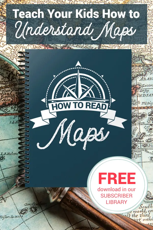
How to Read Maps Printable Unit – teach your kids how to understand and how to a read a map with this freebie for our subscribers.
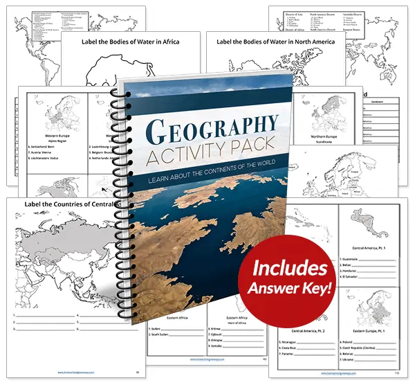
Recommended: Geography Activity Pack (Full of World Geography Maps)
Students will explore every independent country in the world plus discover the most significant mountains, deserts, rivers, and lakes with this 124-page Geography Activity Pack.
For even more map fun you are going to enjoy these amazing freebies:
FREE Giant Maps for Your Homeschool
Over 1,000 FREE Maps of Countries and Continents
FREE Geography Terminology Copywork Notebook
Sarah Shelton
Sarah is a wife, daughter of the King and Mama to 4 children (two homeschool graduates) She is a an eclectic, Charlotte Mason style homeschooler that has been homeschooling for over 20 years. She is still trying to find the balance between work and keeping a home and gardens. She can only do it by the Grace of God, coffee and green juice!