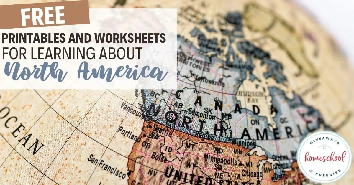
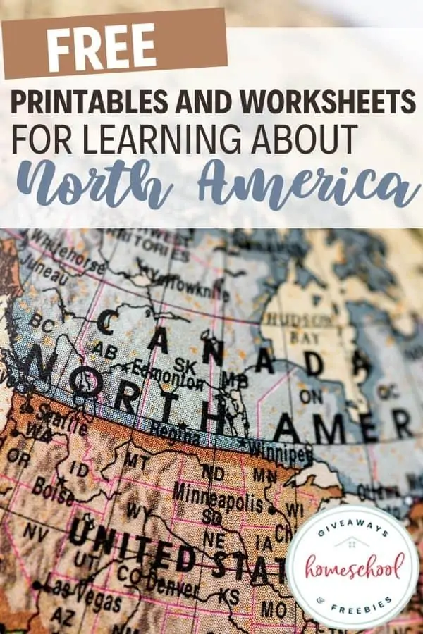
Free Printables and Worksheets for Learning About North America
Published:
April 8, 2021
Contributor:
Jeannette Tuionetoa
Disclosure: This post may contain affiliate links, meaning if you decide to make a purchase via my links, I may earn a commission at no additional cost to you. See my disclosure for more info.
If you are teaching the continents this school year, then you won’t want to miss these free printables and worksheets for learning about North America.
[series_meta]
North America
Once you have explored lessons on the 7 continents, doing an in-depth dive into a few of the continents is a great way to explore geography in your homeschool.
Since my family and I have moved out of our continent and into the South Pacific Region, I thought it would be wise to actually study our home continent. I have to admit that sometimes I forget that North America doesn’t just cover the United States of America. I guess that is a little self-centered. We even are prone to think that when we say we are from America, that it means only the United States of America.
The Americas
Even so, the Americas actually include both North and South America, Central America, and the Caribbean. When people speak of North America, there is a similar mentality, especially amongst our students.
It is true that more than half of the population of North America does live in the USA (330 million). However, we definitely aren’t the only country that makes up the North American continent.
Countries in North America
See, North America in fact has 23 different countries in it and 9 dependencies and has a total of about 590 million people living on the actual continent.
The largest of these 23 countries is Canada, covering almost half of North America’s landmass.
My children were pretty surprised to find out which countries and lands were in North America. I think the one that they were most weirded out about was Greenland, which belongs to Denmark.
Greenland is the biggest island in North America and is, in fact, the world’s largest island that is not a continent. North America has two of its countries sharing the longest land border in the entire world at 8893 km/ 5526 miles. Canada and the United States of America share this border.
North America Worksheets
Explore these free printables and worksheets for learning about North America below.
Videos about North America:
- Come Explore … North America | Lonely Planet Kids
- North America Geography/North American Countries | Kids Learning Tube
- Countries of North America, their Capital Cities, and their Flags – Montessori Geography Presentation | Montessori Global
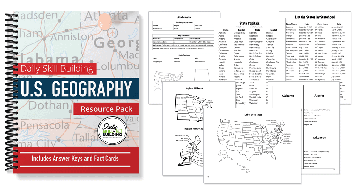
U.S. Geography Curriculum
Learn about all 50 states with our open-and-go U.S. Geography Curriculum! This curriculum encourages independent study for grades 3-6.
North America Unit Studies
- North America Unit Study | Montessori for the Heart
- Journey to North America | Teaching to Love Learning
- Animals of North America for the Montessori Wall Map & Quietbook with Printables | Imagine Our Life
- North American Map Skills & Location Social Studies Unit | What I Have Learned
- North America Unit Study Plan FREE | Simply Schoolgirl
North America Geography Worksheets PDF
- North American Arctic, First Nations of the Arctic, Montessori Geography at Home | Making Montessori Ours
- North America Unit for Kindergartners – Part 1 | Sorting Sprinkles
- Streaming Resources – North America Unit | The Homeschool Resource Room
- Native North American Unit, History & Geography At Home Part 1 | Making Montessori Ours
- North America Unit With FREE Printables | Every Star is Different
North America Facts and Lessons
- Learning About the Continents FREE Printables and Resources: North America
- North America Facts | Kid World Travel Guide
- Geography Lessons of North America for Kids – Printable Fact Cards | The Natural Homeschool
- Learn All About North America with Evan-Moor | Homeschool by the Beach
- North America Continent Box with FREE 3-Part Card Printables | Amber Launstein
- North American Biomes | ThingLink
North America Printbles
- Geography Lesson Plans ~ Printable Maps of North America for Kids | The Natural Homeschool
- FREE – Map Skills | North America (Gr. 3-7) | The Hardstad Collection
- Montessori-Inspired North America Study: Maps and Flags | The Pinay Homeschooler
- FREE Printable List of Countries in North America | Printable Paradise
- North America Geography – FREE Resource | Mrgrayhistory
- Infographic of North America Facts | Maps of World
- North America Geography | Ducksters
- FREE North America Resources | Homeschool Creations
North America Activities
- Continent Boxes | Montessori Spanish
- North America Biomes Puzzle (FREE Interactive Game) | Planeta42
- Hands-on Activities – North America | Layton Adventure
- Our Continent Bags – North America | Counting Coconuts
- North America Continent Box | Discovery Moments
- Country Research Project (North America ) FREE | ESL VILLAGE
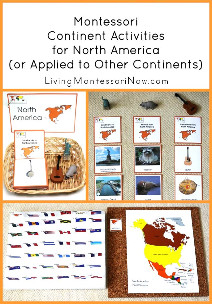
- Montessori Continent Activities For North America (Or Applied To Other Continents) | Living Montessori Now
North America Worksheets
- Social Studies: FREE Excerpt of the North America Geography and History Webquest | Forward-Thinking Curriculum
- Foldable Friday: Early European Settlements in North America | Technically Speaking with Amy
- Continent Box with FREE Printables – North America | 1+1+1+1=1
- North America Interactive Worksheets | Live Worksheets
- 12 Printable North America Countries Activities | The Natural Homeschool
- World Geography Scavenger Hunt: North & Central America~ FREE Printable | Starts at Eight
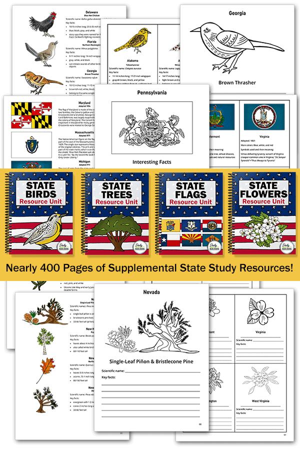
U.S. State Study Printables
Go deeper and explore the state flags, birds, trees, and flowers with the U.S. State Study Resource Pack Bundle!
Map Activities for North America
- The Colonization of North America – Worksheet and FREE Interactive Map Website | Owl Maps
- SOL 3.6 Label a Map of North America FREEBIE | VA SOL Superstars
- North America Map Pack – Editable Bundle ~ FREEBIE | Giraffe Logo
- FREE North America Map Labeling Drag and Drop or Print (Distance Learning) | IʻmPossible Education
- North America Interactive Map | Mr. Nussbaum Learning + Fun
North America Crafts
- Outline Map of North America | ABCTeach
- Mexican Folk Art for Kids | Frogs, Snails, and Puppy Dog Tails
- Bald Eagle Day & Craft | I Heart Crafty Things
- FREE North America Project Patterns | You’re So Creative
North America Animals
- Montessori Zoology: Animals of North America (FREE Printables) | The Natural Homeschool
- The Mighty Bison of North America Unit Study | The Hermit Crab Homeschool
- Montessori-Inspired 3-Part Cards for the Safari Ltd NORTH AMERICA Animals Toob | Homeschooling My Kinetic Kids
- North American Birds Bingo FREE Cards | Beauty in Ordinary Things
- Montessori North American Animals FREE 3-Part Cards | Imagine Our Life
- North American Wildlife Names Cards FREE PDF | Wise Owl Factory
- FREE Printable: Animals of North America | TrilliumMontessori.org
- Montessori-Inspired Continent Activities with Animal Figures and Landmarks – North America | Living Montessori Now

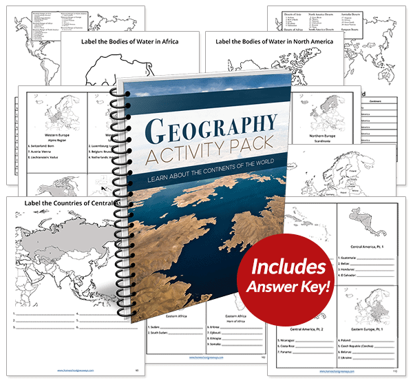
Recommended Resource: Geography Activity Pack
Students will explore every independent country in the world plus discover the most significant mountains, deserts, rivers, and lakes with this huge Geography Activity Pack.
Books about North America
- Global Passport: Best Picture Books Set in North America | Rebekah Gienapp
- Books, Maps, History, Printables & Facts on North America | The Natural Homeschool
- Books About the Continents for Kids | Gift of Curiosity
Geography Resources
- World Geography Unit Study 7 Continents-Longitude/Latitude/Hemisphere
- Over 1000 FREE Maps of Countries and Continents
- FREE Worksheets on the Seven Continents
- Worksheets to Teach Your Kids about the Continents
- Learn the Seven Continents
- How to Teach the Continent sin 3 Easy Steps (FREE Continents Pack)
- The Seven Continents