Teaching Map Grids with FREE Printable!
Published:
August 19, 2015

Contributor:
Carrie
Disclosure: This post may contain affiliate links, meaning if you decide to make a purchase via my links, I may earn a commission at no additional cost to you. See my disclosure for more info.
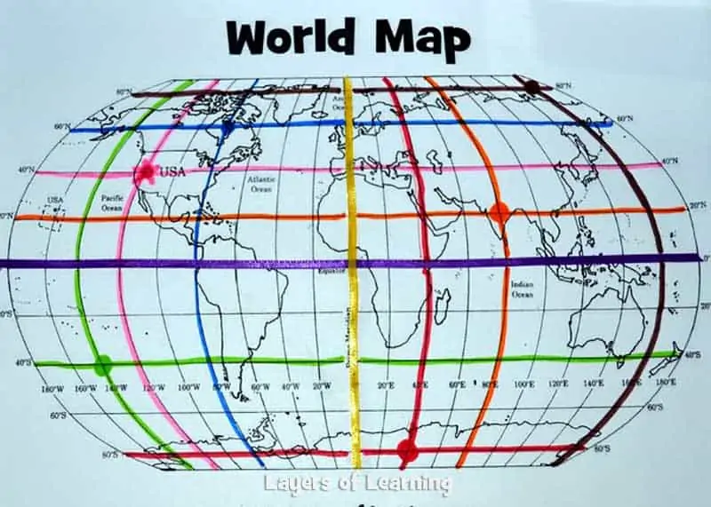
Even though we have GPS now, it is still important for kids to understand how our map grid system works. Map grids are pretty simple; young kids can begin by just adding 2 of our imaginary grid lines – the equator and the prime meridian. Learn all about the map and its latitude and longitude lines for younger and older students with this printable map and tutorial at the link below.
SEE IT HERE
Carrie
Carrie Fernandez is the owner of Daily Skill Building. She has been homeschooling for over 18 years, has two girls and works side by side at home with her awesome husband. She has been saved by grace, fails daily, but continues to strive toward the prize of the high calling of being a daughter of the Most High God.