FREE United States and Continent Map Printables
Published:
April 16, 2018
Contributor:
Jeannette Tuionetoa
Disclosure: This post may contain affiliate links, meaning if you decide to make a purchase via my links, I may earn a commission at no additional cost to you. See my disclosure for more info.
Use these free United States and continent map printables to help your homeschool’s geography unit study. These free map printables include both labeled maps and blank maps for review and practice. This will be a great resource to go along side your unit. If you live in the United States, I highly encourage a unit study on the U.S.A. It is an amazing country with rich, controversial history, with diversity and complexity. I live in another country now, but miss it so much and wish I had studied more about it growing up in public school. I won’t miss out on teaching my kids about it. Learning geographical locations is crucial to your children if they ever want to travel or want to know about biblical history.
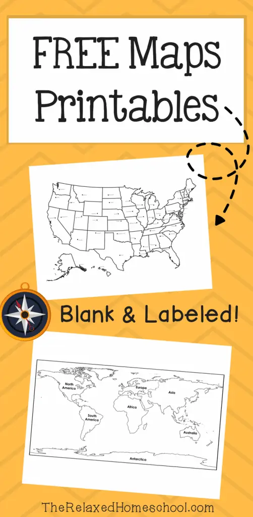
Click here for free map printables from The Relaxed Homeschool.